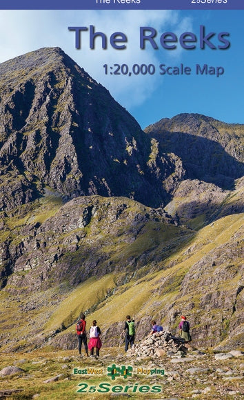
The Reeks Map
A definitive detailed map at 1:20,000 scale covering the main part of the MacGillycuddy Reeks from Caragh Lake to Lough Leane. Includes Carrauntoohil, the highest mountain in Ireland and all adjacent peaks. Produced to our 25Series standard, this general topographic map has a 5-metre contour interval for fine navigation. Signposted walking trails are depicted. A detailed topographic map with many placenames and heritage sites. Printed on good quality Progeo 90gsm map paper. The map sheet measures 1125mm x 820mm, covering 350 sq kilometres and is folded down to 125mm x 205mm.
Original: $25.85
-65%$25.85
$9.05Product Information
Product Information
Shipping & Returns
Shipping & Returns
Description
A definitive detailed map at 1:20,000 scale covering the main part of the MacGillycuddy Reeks from Caragh Lake to Lough Leane. Includes Carrauntoohil, the highest mountain in Ireland and all adjacent peaks. Produced to our 25Series standard, this general topographic map has a 5-metre contour interval for fine navigation. Signposted walking trails are depicted. A detailed topographic map with many placenames and heritage sites. Printed on good quality Progeo 90gsm map paper. The map sheet measures 1125mm x 820mm, covering 350 sq kilometres and is folded down to 125mm x 205mm.