Dingle Way
Dingle Way 1:40,000 Map
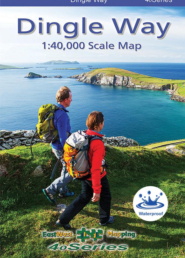
Detailed map at 1:40,000 scale covering the full Dingle peninsula – from Tralee to Brandon and the Blasket Islands. Produced to our 40Series standard, this general topographic map has a good quality 10 metre contour interval. This map is tailored to show the full Dingle Way of 182 kilometres length, along with other walking routes and greenways. The Dingle Way is clearly marked with a purple line, with distances marked every two kilometres. Services inc accommodation, cafes & pubs, shops and tourist information are clearly marked. This map is printed on both sides showing the eastern and western parts of the peninsula with overlapping map detail on either side.
The map sheet measures 975mm x 680mm, covering 1740 sq kilometres and is folded down to 170mm x 122mm. Waterproof map, printed on good quality Polyart 90gsm waterproof paper and supplied in a plastic pocket. Click on thumbnail images above to view sample detail and map coverage. Published 2023.
| Weight | 0.1 kg |
|---|---|
| Dimensions | 0.08 × 12.5 × 17 cm |
Original: $24.68
-65%$24.68
$8.64Product Information
Product Information
Shipping & Returns
Shipping & Returns
Description
Dingle Way 1:40,000 Map
Detailed map at 1:40,000 scale covering the full Dingle peninsula – from Tralee to Brandon and the Blasket Islands. Produced to our 40Series standard, this general topographic map has a good quality 10 metre contour interval. This map is tailored to show the full Dingle Way of 182 kilometres length, along with other walking routes and greenways. The Dingle Way is clearly marked with a purple line, with distances marked every two kilometres. Services inc accommodation, cafes & pubs, shops and tourist information are clearly marked. This map is printed on both sides showing the eastern and western parts of the peninsula with overlapping map detail on either side.
The map sheet measures 975mm x 680mm, covering 1740 sq kilometres and is folded down to 170mm x 122mm. Waterproof map, printed on good quality Polyart 90gsm waterproof paper and supplied in a plastic pocket. Click on thumbnail images above to view sample detail and map coverage. Published 2023.
| Weight | 0.1 kg |
|---|---|
| Dimensions | 0.08 × 12.5 × 17 cm |